Senior Research Fellow · Freelance Consultant

Alberto
Riva

Geoscientist · Carbonate Specialist · Karst Expert

Adjunct professor at the University of Ferrara and freelance consultant geologist with 20+ years bridging academic research and energy industry applications — from thin section to 3D static geomodels.

20+
Years of Experience
20+
Countries Worked
PhD
Earth Sciences, 2005
A1–A2-A3
Certified Drone Pilot
01

About me

My name is Alberto Riva. I graduated in geological sciences in 2001 and obtained my PhD in Earth Sciences in 2005. Since then, I have worked simultaneously in academia — teaching as adjunct professor — and as an energy consultant for the oil & gas and deep geothermal industries.

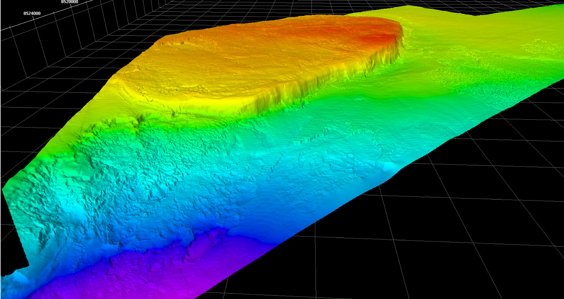
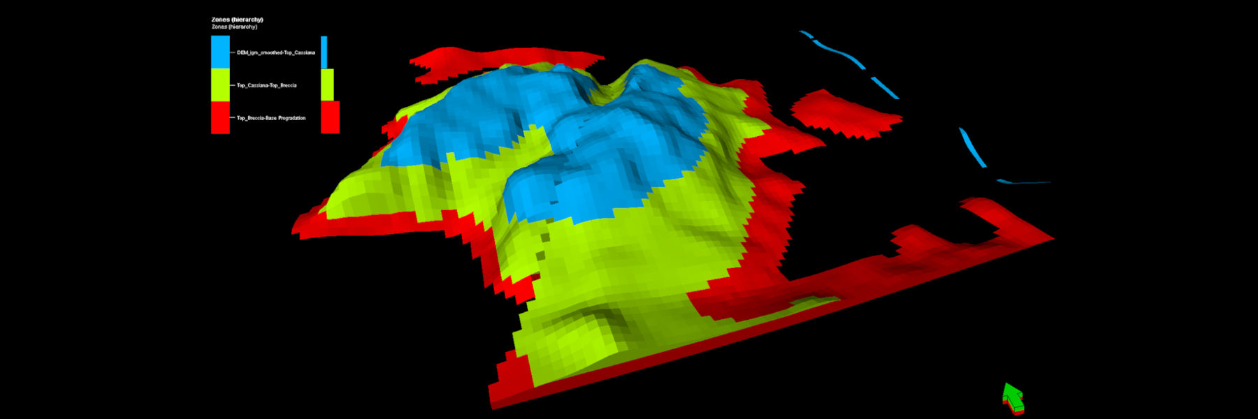
I am currently Adjunct professor at the University of Ferrara, focusing on subsurface modeling, and a freelance geology consultant. My background as a carbonate geologist and karst specialist has progressively evolved into a broader geoscientist profile, dealing with data integration of geological and geophysical data for subsurface modeling.

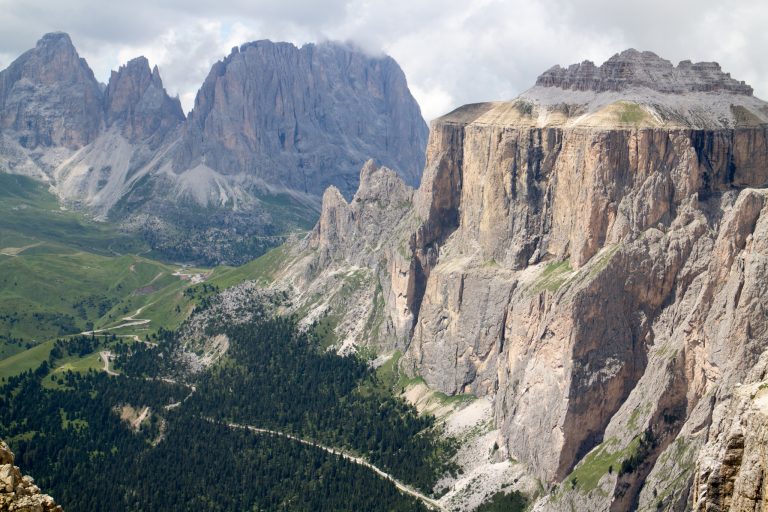
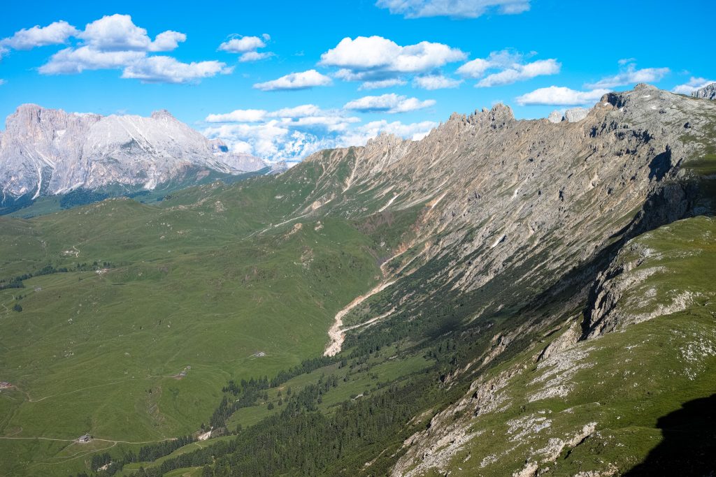
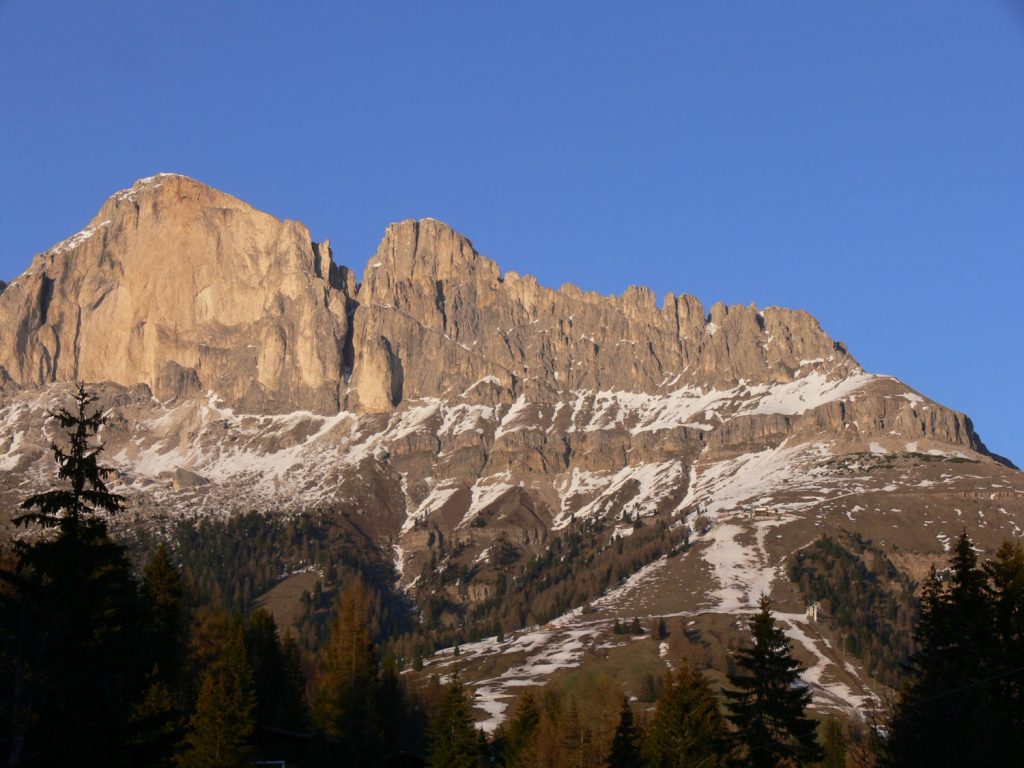
I have led field trips and courses for oil companies and professional associations in Southern Italy and the Dolomites — including AAPG and Nautilus M235a — focusing on carbonate platform geometries, sequence stratigraphy, fractured reservoirs, and basin analysis.

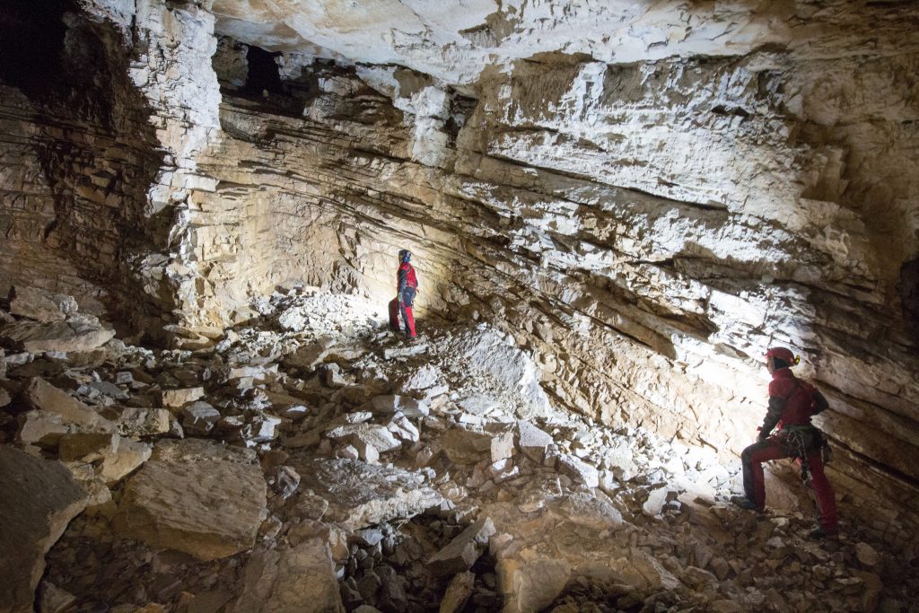
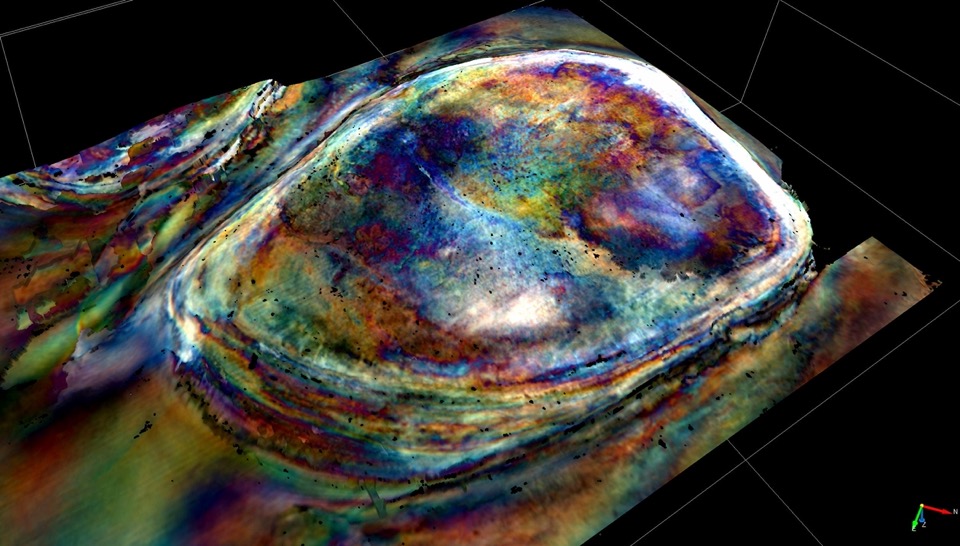
I am also a certified A1/A3 and A2 drone pilot, using photogrammetry extensively for virtual outcrop construction. As a caver and cave diver, I bring unique access to geological data from extreme environments.

Carbonate Reservoirs Karst Systems 
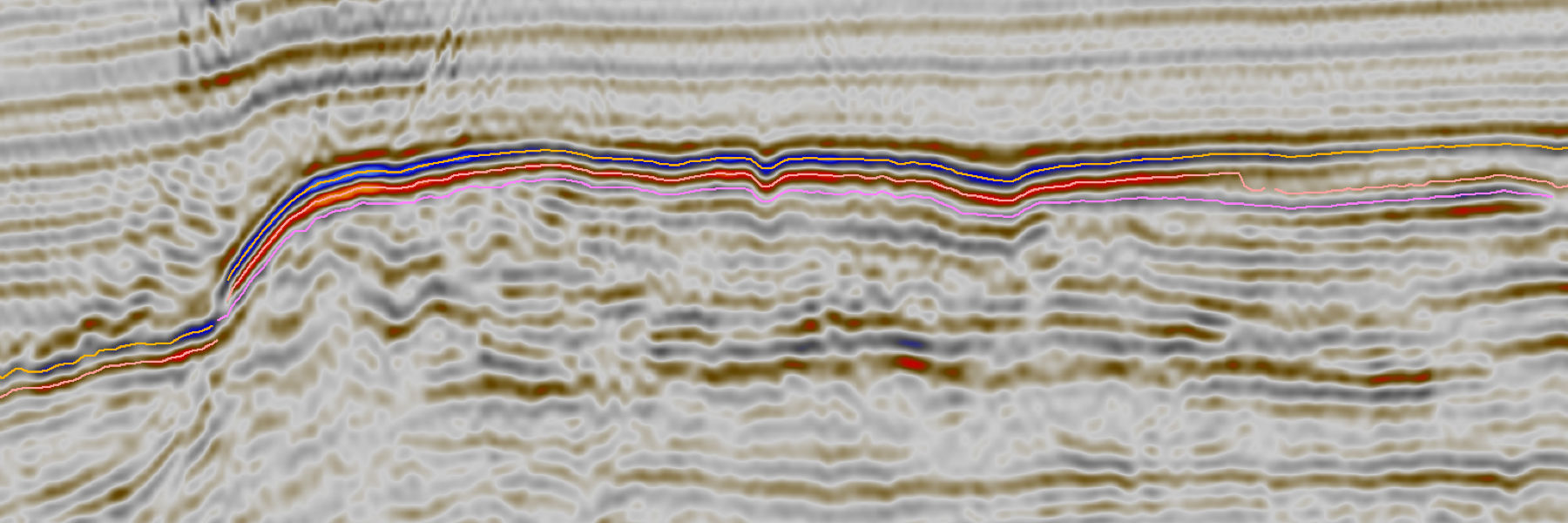
Seismic Interpretation 3D Geomodeling Photogrammetry GIS Cave Diving Palaeoseismology Thrust Belts

Regional Experience

  • Italy
  • Albania
  • Croatia
  • Montenegro
  • Greece
  • Austria
  • France
  • Poland
  • Malta
  • Argentina
  • Bolivia
  • Cuba
  • Venezuela
  • Tunisia
  • Qatar
  • UAE
  • Oman
  • Saudi Arabia
  • Iraq (Kurdistan)
  • Mauritania
  • Kazakhstan
  • Slovenia
03

Services & Expertise

01 🏔

Subsurface & Outcrop 3D Geological Modeling

High-resolution 3D geological models for hydrocarbon and deep geothermal exploration, integrating seismic, well logs, and outcrop analogues.

  • Multisource data integration
  • Complex structural & stratigraphic modeling
  • Reservoir characterization & DFNs
  • Geological analog studies
02 🗺

GIS for Geological Mapping

Over 20 years of GIS applications in geological mapping, spatial analysis, and data management using QGIS and GNSS technology.

  • High-resolution geological maps
  • Mobile GIS field data collection
  • QGIS specialization
  • GIS training & education
03 🚁

Virtual Geological Outcrops

High-resolution 3D photogrammetric models from drone-acquired imagery for geological interpretation, structural analysis, and education.

  • Drone-based aerial surveys
  • Structural & stratigraphic analysis
  • Remote fieldwork solutions
  • Educational interactive models
04 🌊

Data Acquisition in Extreme Environments

Unique access to geological data from deep caves, submerged karst systems, and remote terrain as a certified caver and cave diver.

  • Cave & subterranean geology
  • Underwater geological surveys
  • Remote terrain exploration
  • GNSS & photogrammetric integration
05

Palaeoseismology

Scientific investigation of ancient earthquakes through trenching studies, stratigraphic analysis, and dating methods for seismic hazard assessment.

  • Active fault trenching studies
  • Radiocarbon & luminescence dating
  • Seismic hazard assessment
  • Infrastructure risk mitigation
06 🔬

Scientific Research

Research focused on thrust belt structure in the Periadriatic Region, stratigraphic frameworks, karst development, and geological mapping in the Dolomites.

  • Thrust belt structural analysis
  • Karst system development
  • Geological mapping — Dolomites
  • Subsurface model development
04

Consulting Specialties

Advanced studies on carbonate reservoirs and outcrops for scientific research and the energy industry, based in the Dolomites.

05

Scientific Research

Scientific research in geology is fundamental to understanding and developing new ideas, concepts, and methods for interpreting geological features. My work bridges fieldwork, data integration, and numerical modeling.

My focus is primarily on understanding the structure of thrust belts in the Periadriatic Region (Italy, Slovenia, Croatia, and Albania), refining stratigraphic frameworks, and understanding the development of karst systems across various climates and conditions.

I am deeply involved in geological mapping in the Dolomites region, which I find particularly inspiring for developing subsurface models — a natural laboratory where outcrops expose what seismic can only hint at.

View Full Publication List ↗ ORCID 0000-0002-6236-4534

Research Focus Areas

Thrust belt structure — Periadriatic Region (Italy, Slovenia, Croatia, Albania)
Stratigraphic framework refinement in carbonates
Karst system development in varying climates
Geological mapping in the Dolomites
Subsurface model development from outcrop analogues
Seismic interpretation of carbonate reservoirs
From thin section
to 3D geomodel.

Ready to discuss your project? Get in touch.

Contact Alberto Riva